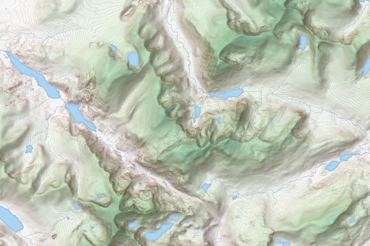
OS MasterMap Topography Layer
Most detailed and accurate view of Great Britain’s landscape – from roads to fields, to buildings and trees and more.
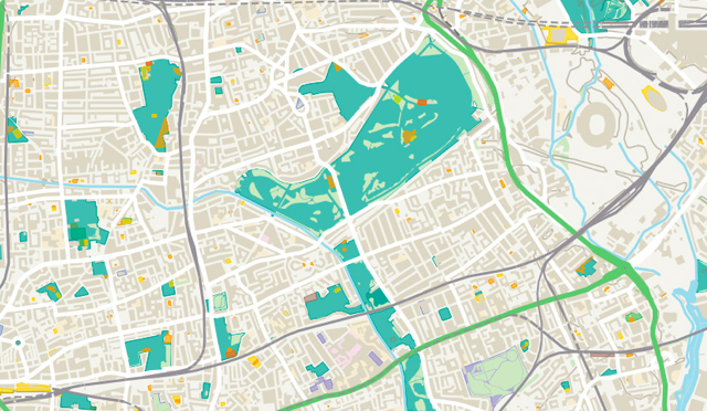
OS Open Zoomstack
A comprehensive vector basemap showing coverage of Great Britain from a national level, right down to street detail.
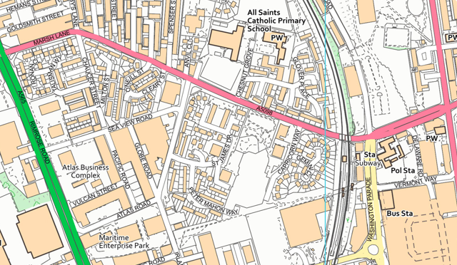
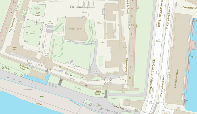
OS VectorMap Local
A highly-detailed, customisable street-level map - showing fences, building outlines, paths and street names.
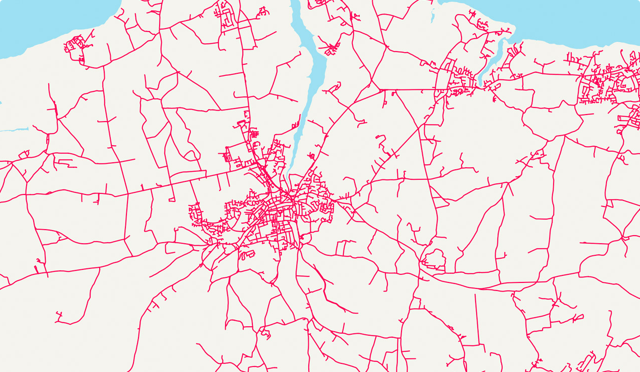
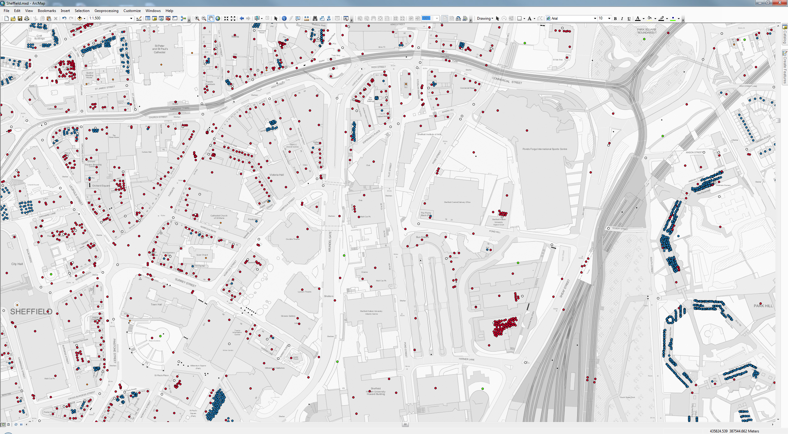
OS MasterMap Highways Network
The next generation of road mapping with an authoritative single view of the whole road network.
OS Maps API
Working examples of how to use the OS Maps API, a RESTful API based on the OS datasets.
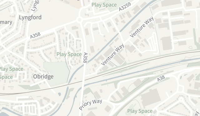
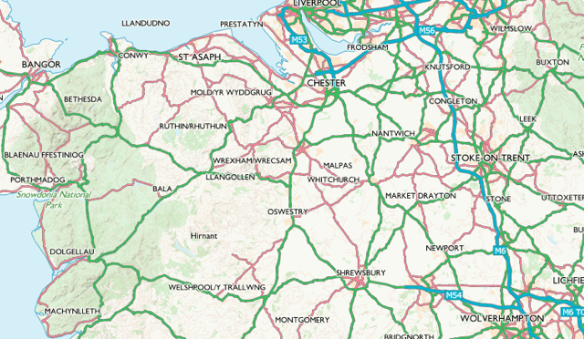
OS VectorMap District
Show enough detail to give the lie of the land while avoiding overwhelming detail with this customisable map.